


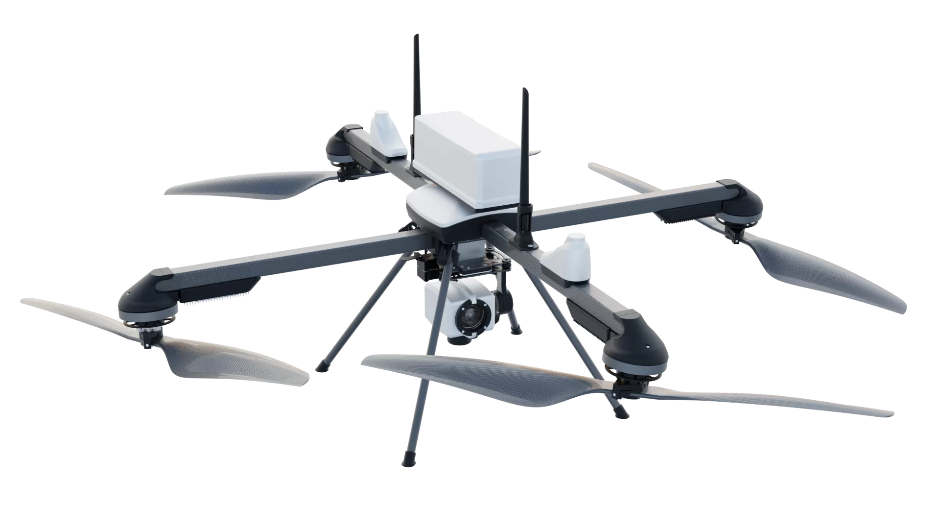
ideaForge Technology Limited has received an order from the Survey of India (SOI) for its Q6 V2 unmanned aerial vehicles (UAVs) to support surveying and mapping requirements.
The deployment will enable the collection of aerial and geospatial data across varied terrains, supporting applications such as infrastructure development, land administration and public programmes. UAVs can complement conventional surveying methods by improving data collection speed, coverage and frequency, particularly in large or difficult-to-access areas.
Designed and developed in India, the Q6 V2 is a survey-grade UAV built for large-scale mapping projects. It offers an endurance of up to 60 minutes, an operational range of 5 km and a maximum take-off weight of 6 kg. The platform supports daylight, thermal, mapping and multispectral payloads, along with autonomous navigation and encrypted communications. It can be deployed in under 10 minutes and has been used across diverse environments, including high-altitude zones and flood-affected areas.
Commenting on the development, Somil Gautam, Associate Director – Enterprise Business, ideaForge Technology Ltd., said, “The adoption of UAVs in geospatial applications is creating a more efficient way to collect the aerial data that informs how we plan, develop, and manage our physical environment. Our engagement with the Survey of India reflects the growing relevance of indigenous UAV technology in specialised applications where reliable and timely data is important. At ideaForge, we are focused on building platforms that can deliver dependable performance across real-world operating environments, and we see significant potential for UAV-enabled mapping and geospatial intelligence across government and enterprise applications.”
ideaForge’s UAVs have also been deployed in government and enterprise surveying applications, including the SVAMITVA Yojana. The latest order further expands the company’s presence in mapping and geospatial applications.
